Boucle des Fontaines
Loop, Horse-riding, Walks and hikes, Walking/pedestrian
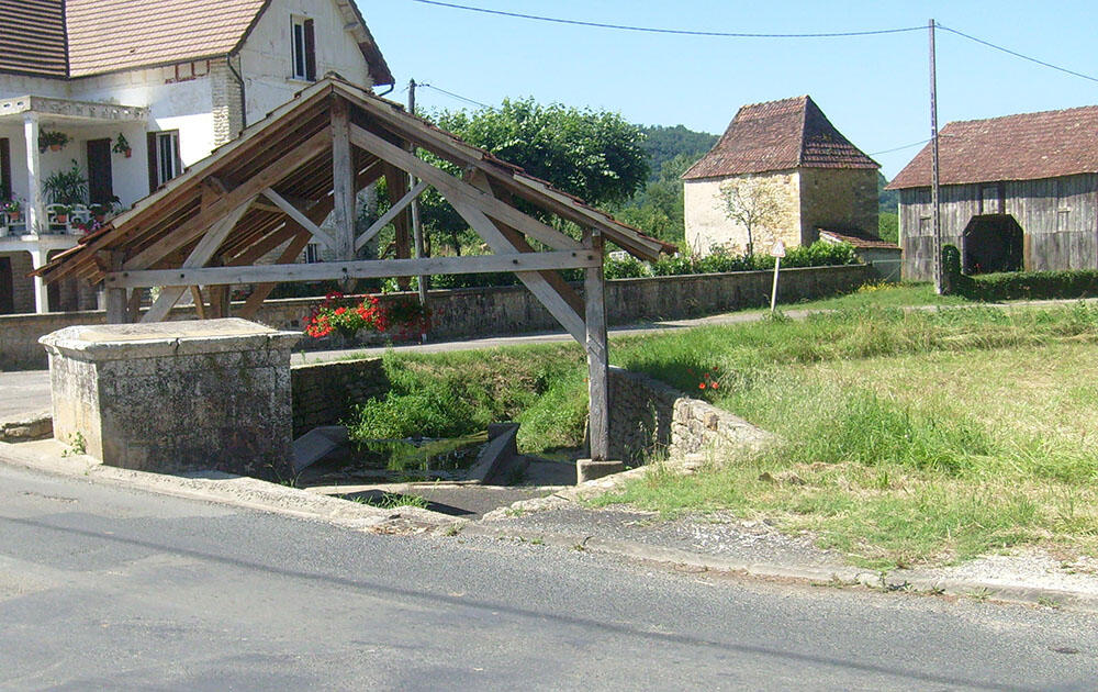
in Saint-Julien-de-Lampon
11.3
km
Loop
Walking/pedestrian
3h
Easy
- Departure
- Saint-Julien-de-Lampon
-
-
Difference in height
- 336.95 m
-
-
-
Documentation
- GPX / KML files allow you to export the trail of your hike to your GPS (or other navigation tool)
-
- Points of interest
- 337 meters of difference in height
-
- Start altitude : 91 m
- End altitude : 91 m
- Maximum altitude : 187 m
- Minimum altitude : 81 m
- Total positive elevation : 337 m
- Total negative elevation : -337 m
- Max positive elevation : 32 m
- Min positive elevation : -45 m